Piri Reis Map: The Chart That Outran Its Legend
The map in the cabinet
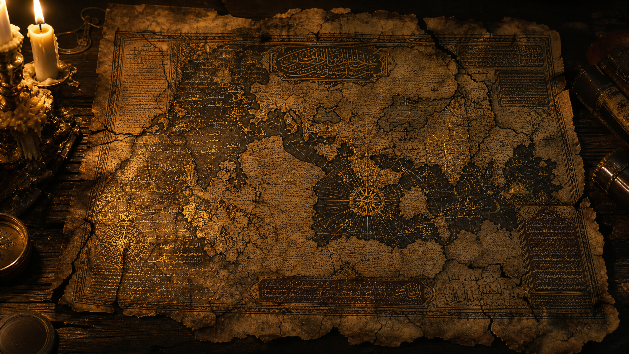
In the stillness of an archive, a map can feel more like evidence than art. The Piri Reis map, drawn in 1513 on gazelle skin by an Ottoman admiral and cartographer, is one of those objects that invites the room to go quiet. It is fragmentary, hand-annotated, and unmistakably real. It is also one of the most overburdened pieces of paper in the history of speculation.
That matters, because the legend attached to the map has long outgrown the map itself. Depending on who is telling the story, Piri Reis preserved lost ancient knowledge, charted Antarctica centuries before its official discovery, or copied a source so sophisticated that modern science has still failed to explain it. The trouble with these claims is not that they are impossible in the abstract. The trouble is that the surviving evidence keeps pointing in a much more ordinary direction.
What Piri Reis actually made
Piri Ibn Haji Mehmed, known to history as Piri Reis, was not a mystic drafting visions in a candlelit tower. He was a naval officer in the Ottoman Empire, a man who understood coasts, currents, ports, and the practical value of accurate charts. His map is a compilation. In his own notes, he says so plainly, listing sources that included earlier maps, Portuguese charts, Arabic material, and, he claims, a map associated with Columbus.
That is the first clue to how the map should be read. It is not a single authoritative survey. It is a collage of maritime intelligence. In modern terms, it looks less like a revelation and more like a field dossier assembled from intercepted reports, commercial records, and secondhand observation. That does not make it dull. It makes it human.
The surviving fragment shows the Atlantic world as it was beginning to come into sharper focus for Mediterranean navigators: parts of western Europe, the northwest coast of Africa, the eastern bulge of South America, islands in the Atlantic, and a scattering of notes in Ottoman Turkish. The lines are elegant, but they are not magic. They are the work of a skilled compiler working with uneven material.
The Antarctica claim and why it endures
The most dramatic claim is that the map shows Antarctica centuries before anyone officially knew it existed. This idea gained traction in the twentieth century and has never really left the public imagination. The temptation is easy to understand. The southern landmass on the map appears large, strange, and detached from the coastlines people expect to see. To a believer, it looks like a frozen continent waiting in plain sight.
But when historians and cartographers compare the fragment to other maps of the era, a less sensational picture emerges. The southern land is generally understood as an extension or distortion of the South American coastline, exaggerated by the limitations of the sources Piri Reis used. Early modern mapmaking was full of speculative geography. Coastlines were extended, bent, and sometimes imagined into forms that looked authoritative only after the fact.
There is also a deeper problem with the Antarctica interpretation: it asks a great deal of a fragmentary chart produced from inherited data. To make the theory work, one must assume not only that Piri Reis had access to an advanced, lost source, but that the source itself was accurate enough to depict Antarctica without the ice cap, then transmitted through intermediaries, then copied into a 16th-century Ottoman compilation with enough fidelity to preserve the secret. That is a long chain for a very small amount of evidence.
What the ice-free Antarctica theory gets wrong
Most versions of the theory rely on visual resemblance rather than documentary proof. A coastline on a map can be interpreted almost any way if the viewer is determined enough. But resemblance is not identification. Cartography is full of shapes that look meaningful until one compares them against the sources and the conventions of the time. In the case of Piri Reis, the better explanation is not hidden Antarctic memory. It is the familiar mess of early exploration data: incomplete routes, uncertain latitudes, copied sketches, and a cartographer trying to make a coherent whole from imperfect parts.
There is no surviving note from Piri Reis claiming Antarctica. There is no associated archive of lost super-civilization charts. There is no material chain linking the map to a pre-Ice Age geography library. The story becomes impressive because the claim is impressive, not because the paper compels it.
The intelligence value of a flawed chart
What I find more interesting is not what the map supposedly proves, but what it reveals about information flow in the early 1500s. The Ottoman world was not isolated. It was plugged into trade networks, military intelligence, piracy, diplomacy, and the constant exchange of navigational knowledge. A competent admiral could assemble a surprisingly detailed picture of the Atlantic from material gathered across borders and languages. That is not paranormal. It is geopolitics.
In that sense, the Piri Reis map is almost a case study in how secrets travel. A coastline observed by one ship may be copied by another. A port rumor may become a line. A sketch may survive because it was useful, not because it was true in every detail. By the time a chart reaches the historian, the original observation may be buried under layers of reuse. The result is a document that can look uncanny while remaining entirely explainable.
That, to me, is the heart of the matter. People want the map to be a relic of vanished knowledge because that version is more dramatic than the alternative: that a talented Ottoman officer was doing what good intelligence officers and navigators have always done, which is sift fragmented data, identify patterns, and produce something operational from uncertainty.
Why the legend refuses to die
The legend persists because it sits at the intersection of three powerful ideas: lost history, forbidden knowledge, and the possibility that modern chronology leaves out something important. Add a map, and the imagination does the rest. Maps feel objective. They carry the authority of measurement, direction, and distance. When a map appears to contradict the established timeline, it can feel like the paper itself is testifying.
But evidence does not work that way. A document is only as strong as its context. The Piri Reis map survives because its context is rich enough to be interesting and incomplete enough to be argued over. That combination is rocket fuel for speculation. It is also why the map remains valuable to serious researchers. Not as proof of an impossible civilization, but as a window into the intelligence culture of the early modern Mediterranean.
If you strip away the myth, what remains is still compelling. A naval commander in 1513 assembled a world from fragments, and one fragment of that world reached us through time, fire, neglect, and rediscovery. The paper did not reveal Atlantis. It revealed something arguably more durable: the old human habit of taking incomplete information and turning it into a map, a theory, a warning, or a story that outlives its maker.
And perhaps that is the real mystery. Not whether Piri Reis saw Antarctica, but how easily a genuine historical artifact can become a vessel for every hope we have about lost knowledge. In the cold light of documentary scrutiny, the map is less supernatural than the legend wrapped around it. Yet under that scrutiny, it does not shrink. It deepens.